File list
Jump to navigation
Jump to search
This special page shows all uploaded files.
| Date | Name | Thumbnail | Size | Description | Versions |
|---|---|---|---|---|---|
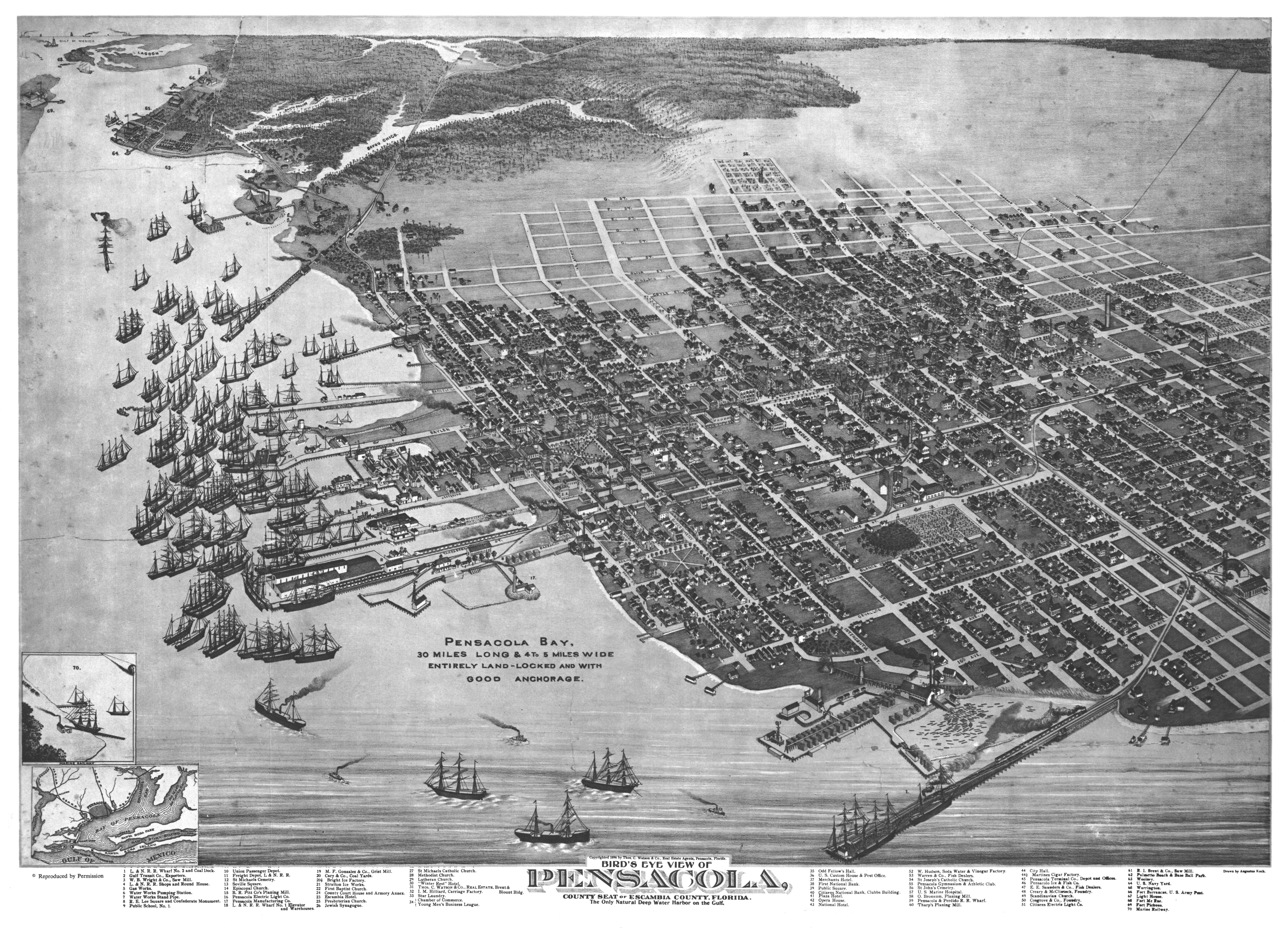
| 04:03, 5 December 2009 | KochMap1896.jpg (file) |  |
10.76 MB | {{PD-US}} Source: http://edocs.dlis.state.fl.us/map/pdf-1/ACV-0390.pdf | 1 |
| 21:57, 26 February 2008 | WatsonMaps1949Repro.jpg (file) |  |
7.96 MB | Believed PD Source: http://edocs.dlis.state.fl.us/map/tiff-4/ACU-8376.tif | 1 |
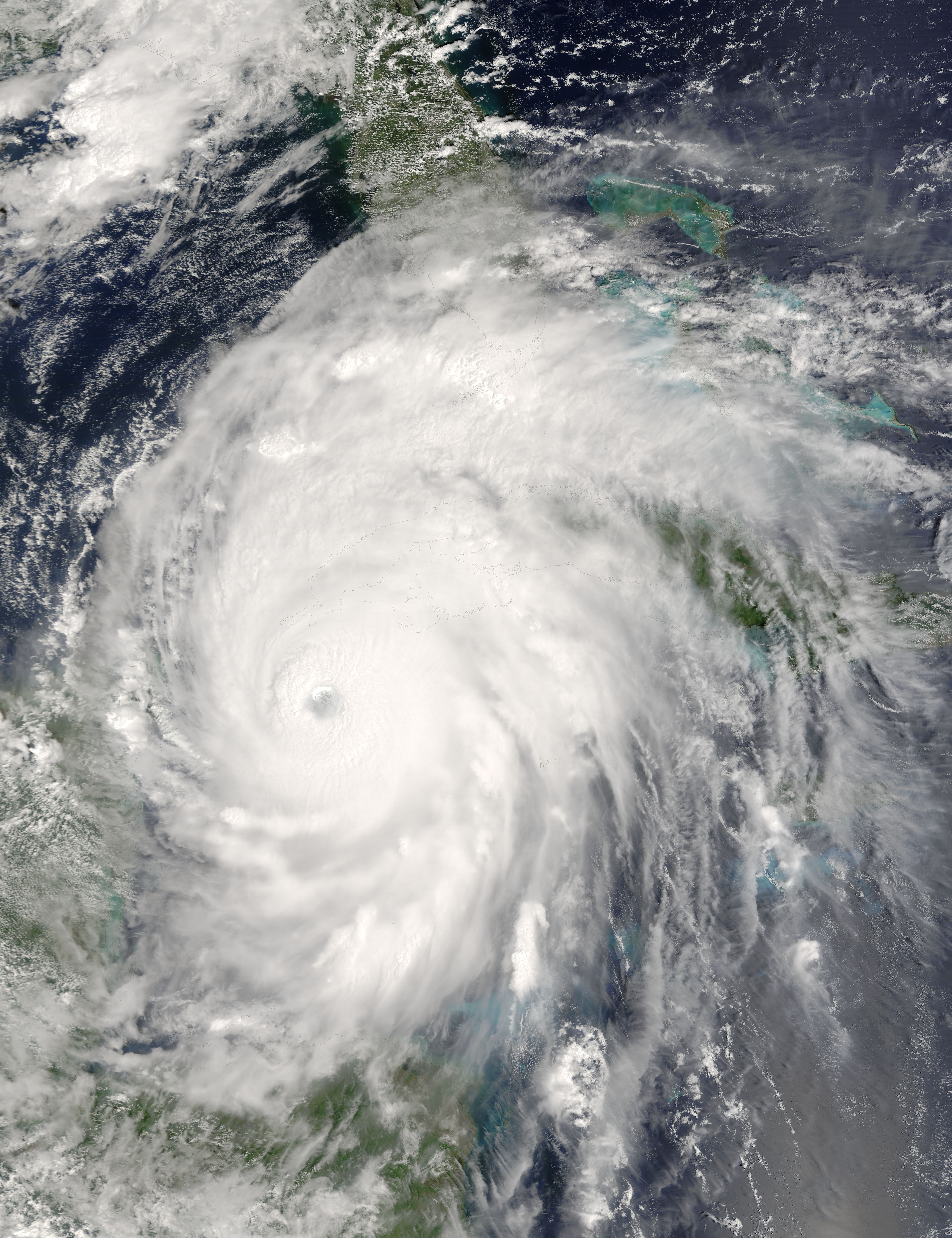
| 17:19, 19 June 2007 | Hurricane Ivan 13 sept 2004.jpg (file) |  |
6.43 MB | {{PD-USGov}} Created by NASA http://en.wikipedia.org/wiki/Image:Hurricane_Ivan_13_sept_2004.jpg | 1 |
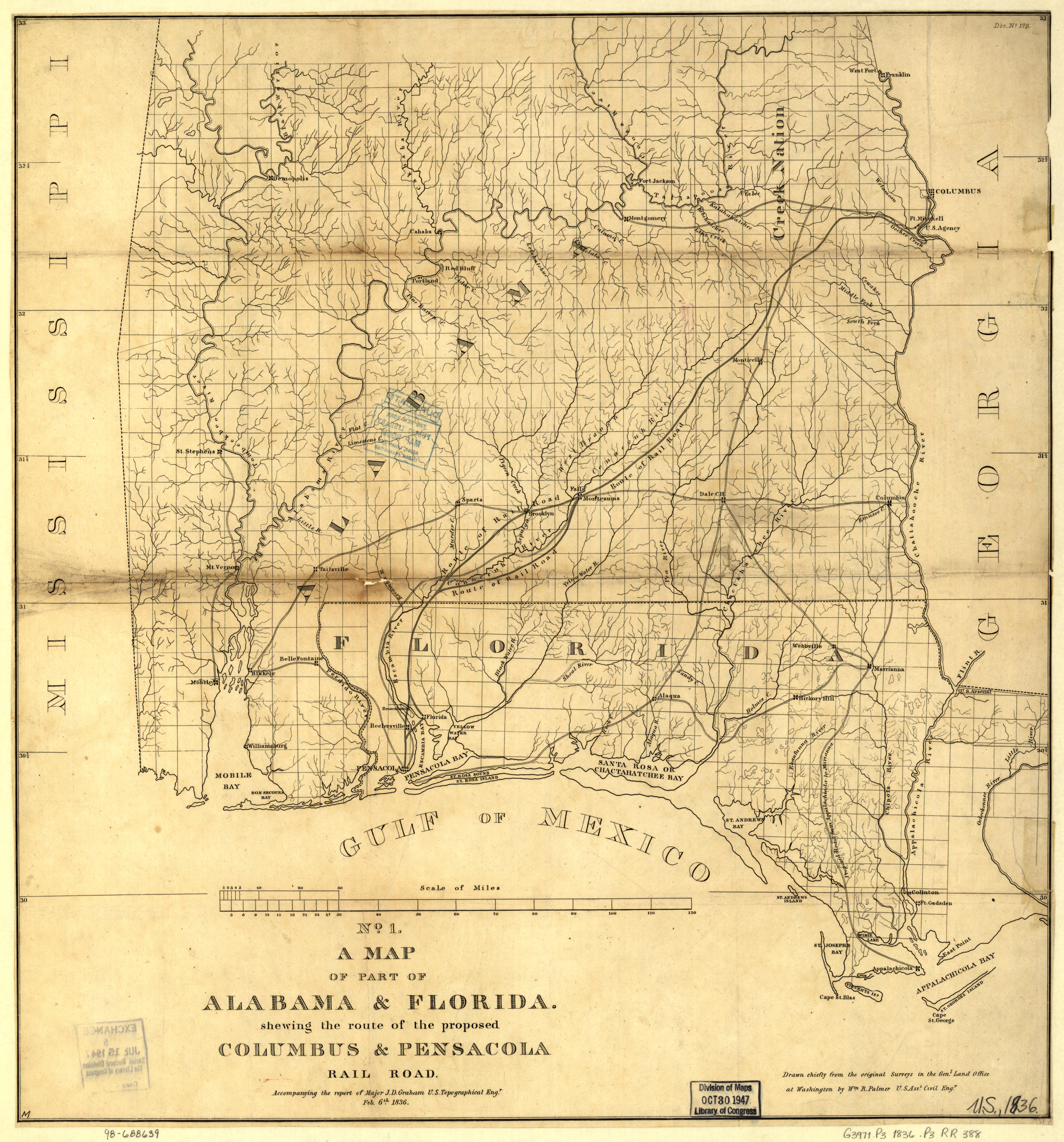
| 15:48, 29 January 2009 | ColumbusPensacolaRailroad-1836Map.jpg (file) |  |
3.66 MB | {{PD-US}} Source: Library of Congress American Memory Project | 1 |
| 03:09, 20 July 2008 | EastPensacolaHeightsMap.jpg (file) |  |
2.94 MB | Source: http://edocs.dlis.state.fl.us/map/tiff-2/ACU-8517.tif Presumed PD | 1 |
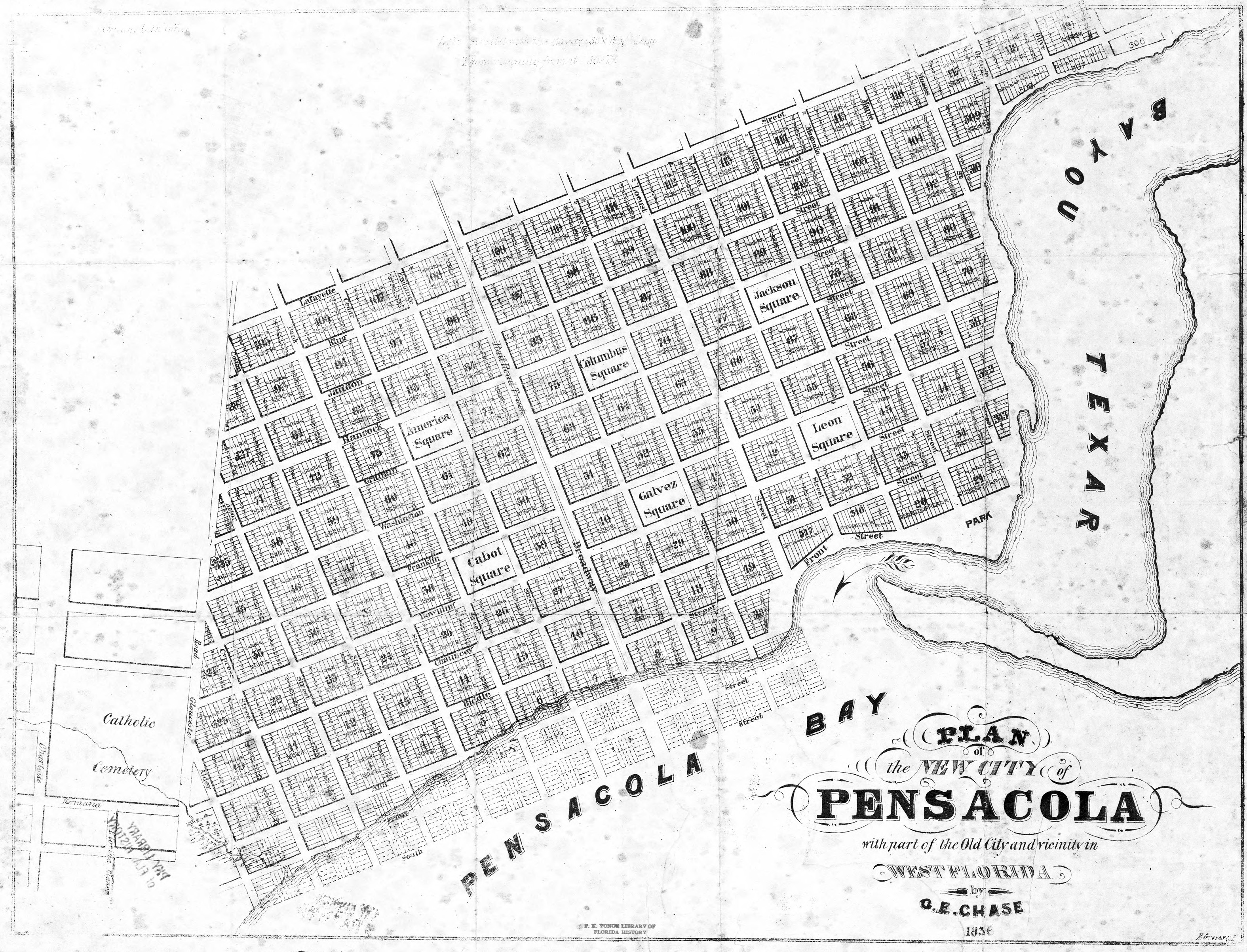
| 22:08, 31 October 2008 | NewCityPlat.jpg (file) |  |
2.86 MB | {{PD-US}} | 1 |
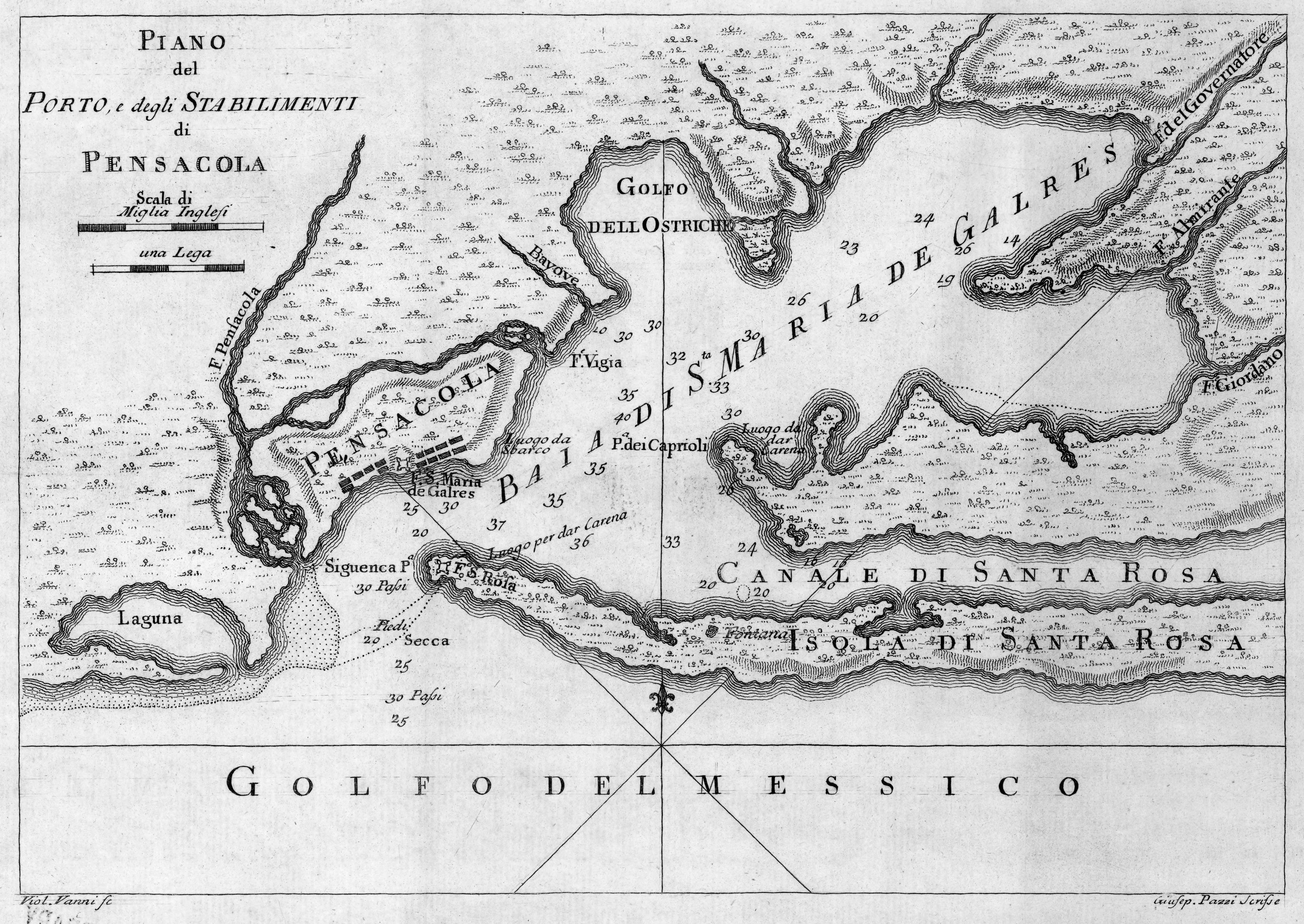
| 20:38, 30 March 2009 | VanniMap1763.jpg (file) |  |
2.05 MB | Piano [Plano] del Porto, e degli Stabilimenti Pensacola Creator: Viol. Vanni, 1763 Source: [http://image11.fcla.edu/cgi/i/image/image-idx?xc=1;sid=97690242c1776a59297bf9d54ee5c1bc;c=fhpimage;c=map;c=mca;c=mile;c=rte;c=wolf;q1=pensacola;rgn1=ic_all;size= | 1 |
| 18:56, 27 May 2008 | GeorgeScarborough.jpg (file) |  |
1.85 MB | {{publicity}} Source: http://ricksblog.biz/?p=1051 | 1 |
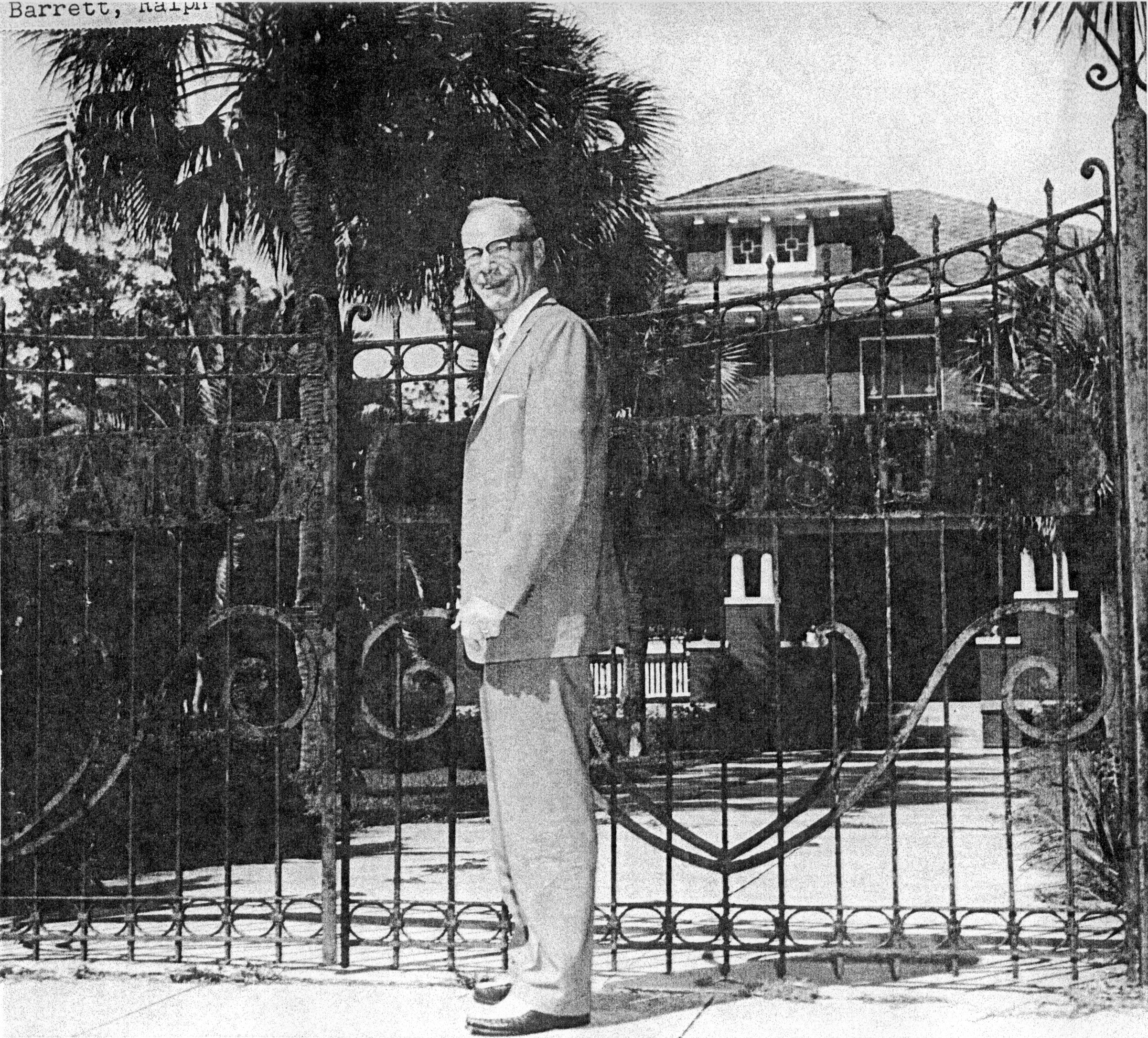
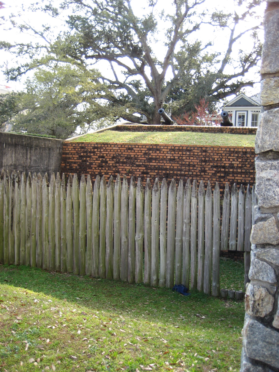
| 04:59, 17 March 2010 | ScotlandHouseGate.jpg (file) |  |
1.77 MB | {{fair use in|Scotland House}} Source: Historical Society archives | 1 |
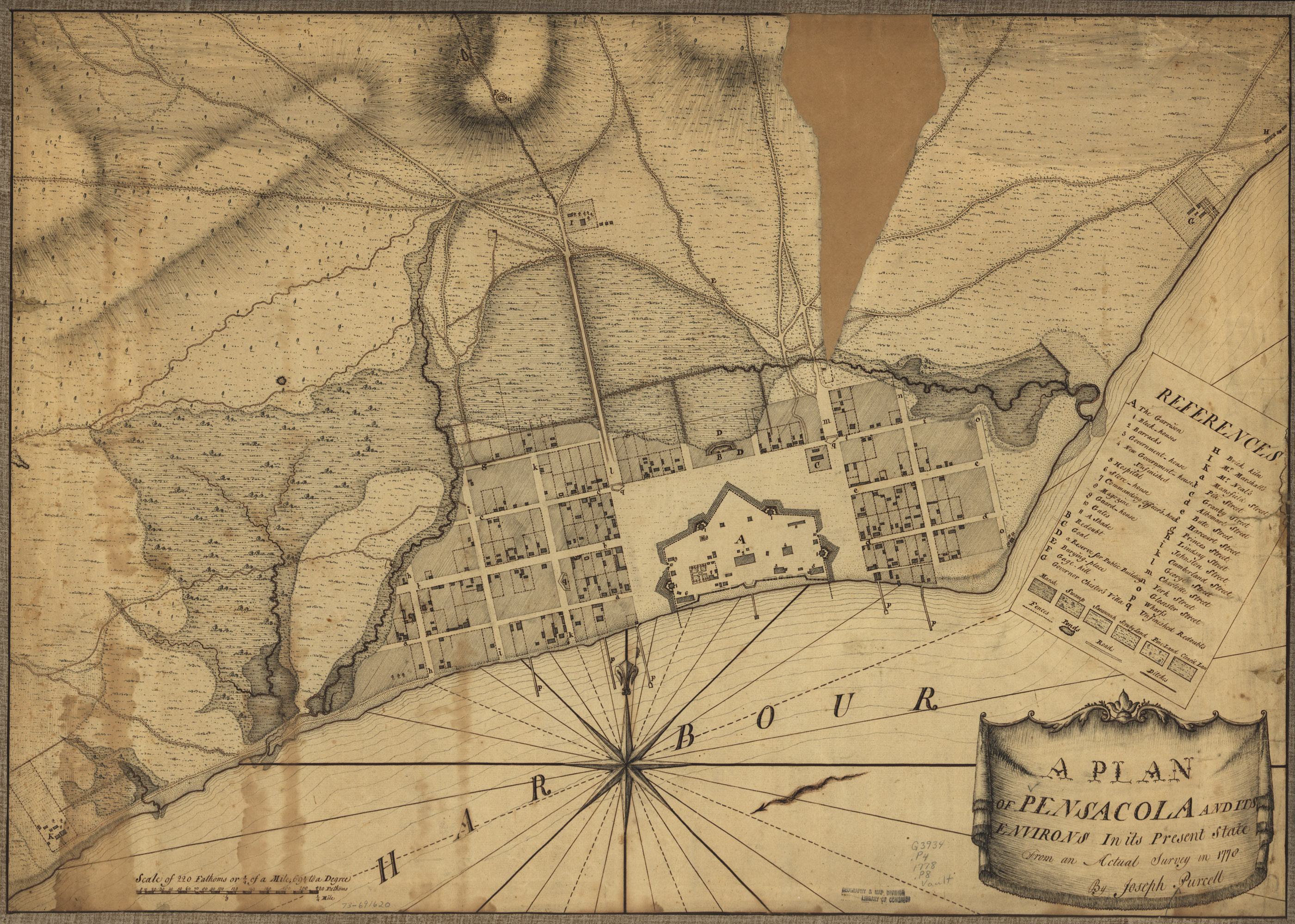
| 15:48, 21 April 2007 | 1778PurcellPlan.jpg (file) |  |
1.76 MB | A plan of Pensacola and its environs in its present state, from an actual survey in 1778, by Joseph Purcell. For most article purposes, the lower-resolution detail is suitable: Image:1778PurcellPlan-Detail.jpg {{PD-US}} Source: [http://memory.loc.g | 1 |
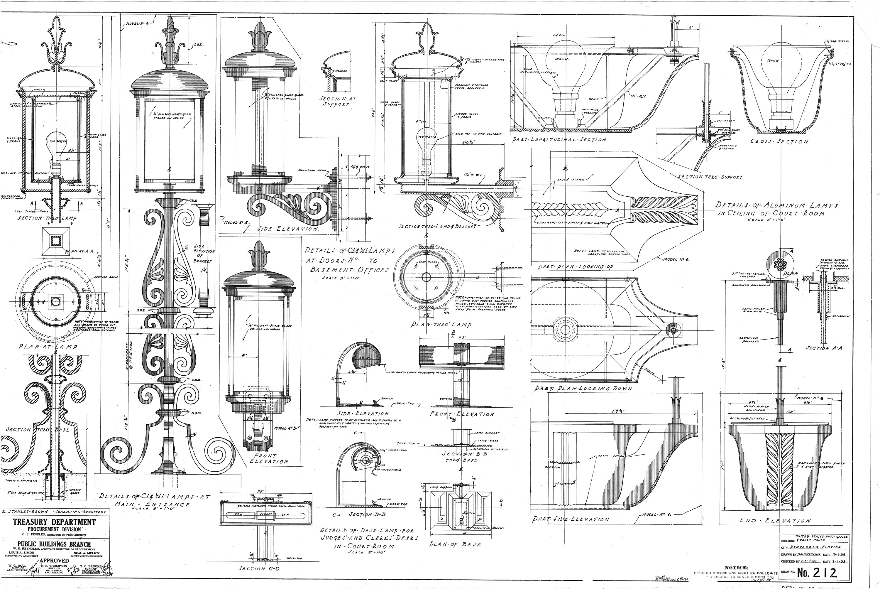
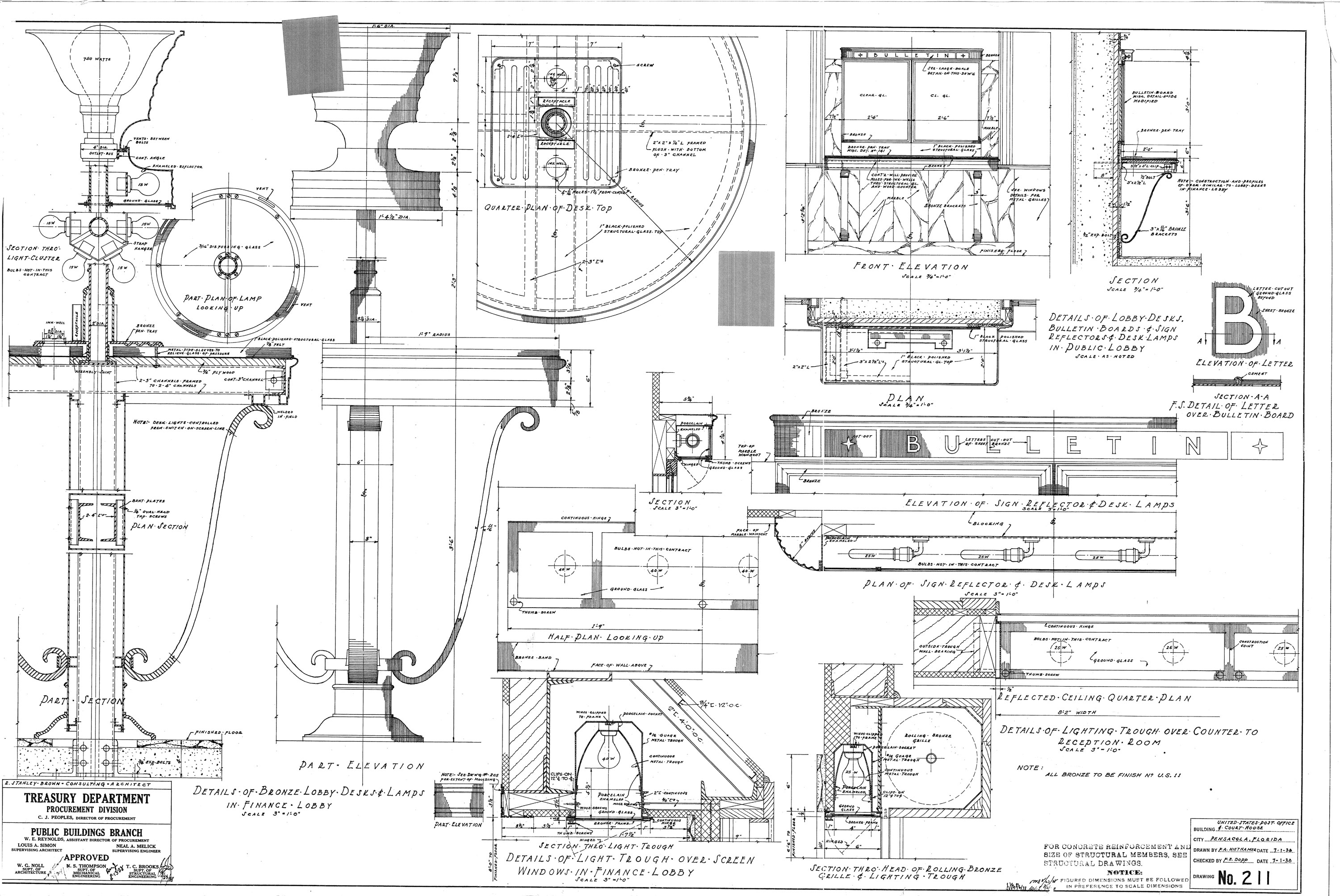
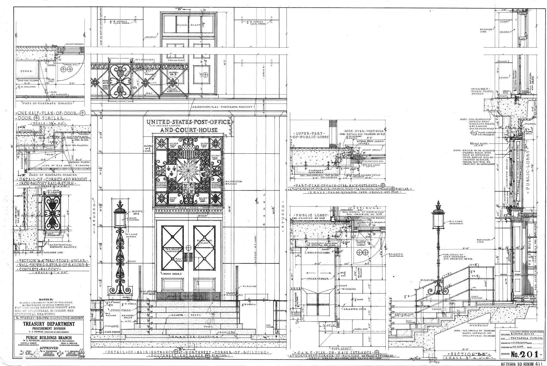
| 19:49, 11 June 2011 | Arnowbuilding-1938plans-details2.jpg (file) |  |
1.08 MB | {{PD-USGov}} | 1 |
| 19:49, 11 June 2011 | Arnowbuilding-1938plans-details1.jpg (file) |  |
1.07 MB | {{PD-USGov}} | 1 |
| 13:25, 5 January 2008 | GoslingPatch.png (file) |  |
1.06 MB | {{PD-USGov}} Source: Naval Aviation Museum's [http://collections.naval.aviation.museum/Query.php online collection] | 1 |
| 18:40, 14 January 2008 | BaylenLofts-SignDetail.png (file) |  |
979 KB | {{PD-self}} | 1 |
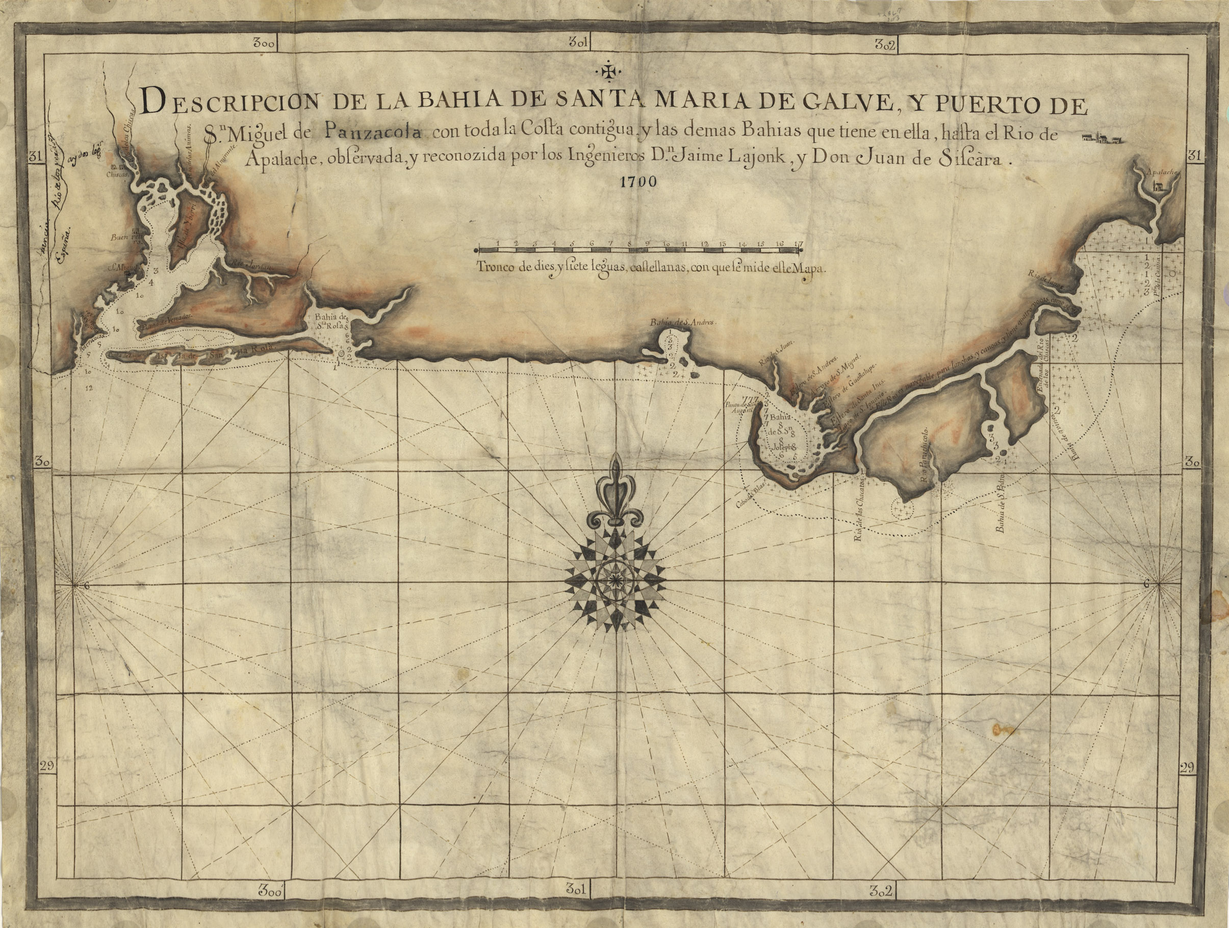
| 16:20, 21 April 2007 | 1700Map.jpg (file) |  |
978 KB | Descripcion de la Bahia de Santa Maria de Galve, y Puerto de Sn. Miguel de Panzacola con toda la costa contigua y las demas bahias que tiene en ella, hasta el Rio de Apalache / observada, y reconozida por los ingenieros Dn. Jaime Lajonk, y Don Juan de Sis | 1 |
| 19:45, 27 October 2007 | GoofyGolf.jpg (file) |  |
922 KB | {{PD-self}} | 1 |
| 23:06, 14 March 2010 | PittsSlipConcept-ArcadiaRealty.jpg (file) |  |
913 KB | {{fair use in|Pitt's Slip}} Source: "Council Weighs 3 Pitt Slip Plans." ''Pensacola News'', January 7, 1982. | 1 |
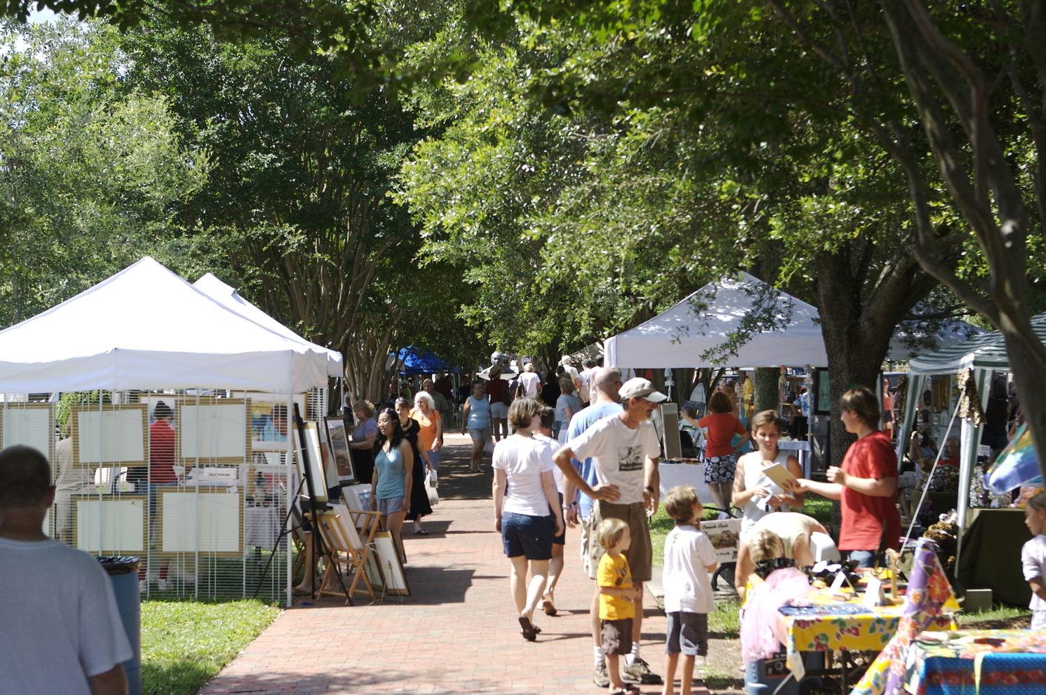
| 11:56, 12 June 2008 | PalafoxMarket.jpg (file) |  |
911 KB | {{PD-self}} | 1 |
| 23:22, 14 March 2010 | PittsSlipConcept1.jpg (file) |  |
907 KB | Source: Historical Society archives | 1 |
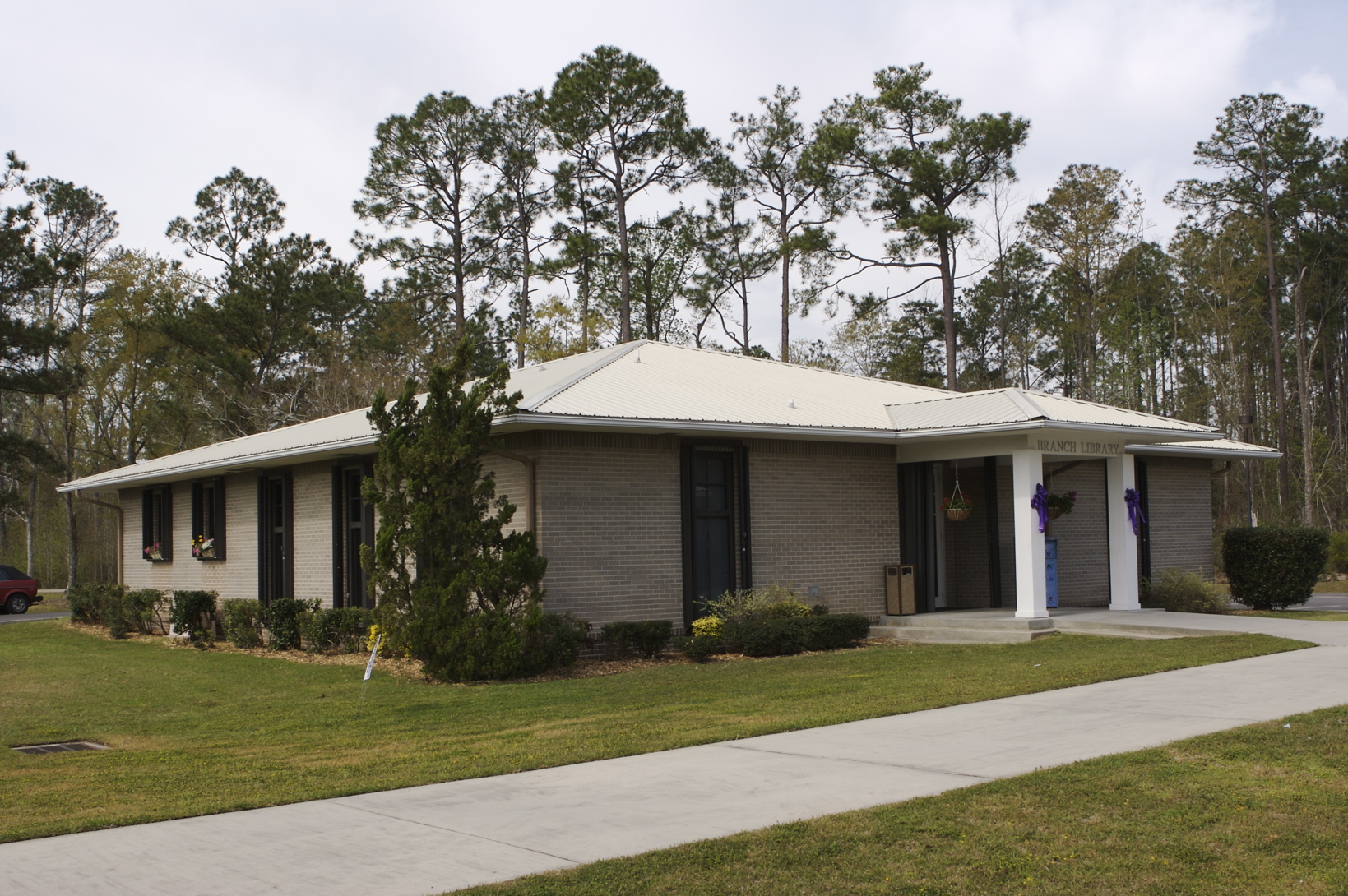
| 22:23, 26 April 2008 | CenturyBranchLibrary.jpg (file) |  |
895 KB | {{PD-self}} | 1 |
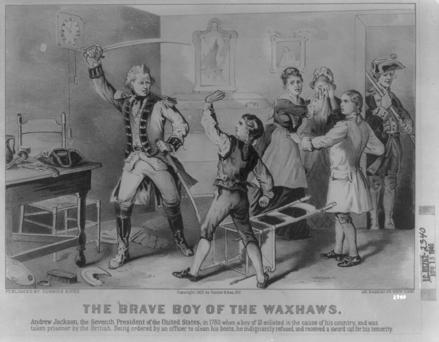
| 22:06, 6 May 2009 | Andrew-Jackson-disobeys-British-officer-1780.png (file) |  |
888 KB | {{PD-US}} Library of Congress website publication data TITLE: The brave boy of the Waxhaws CALL NUMBER: PGA - Currier & Ives--Brave boy of the Waxhaws (A size) [P&P] REPRODUCTION NUMBER: LC-USZ62-2340 (b&w film copy neg.) MEDIUM: 1 print : lithograph | 1 |
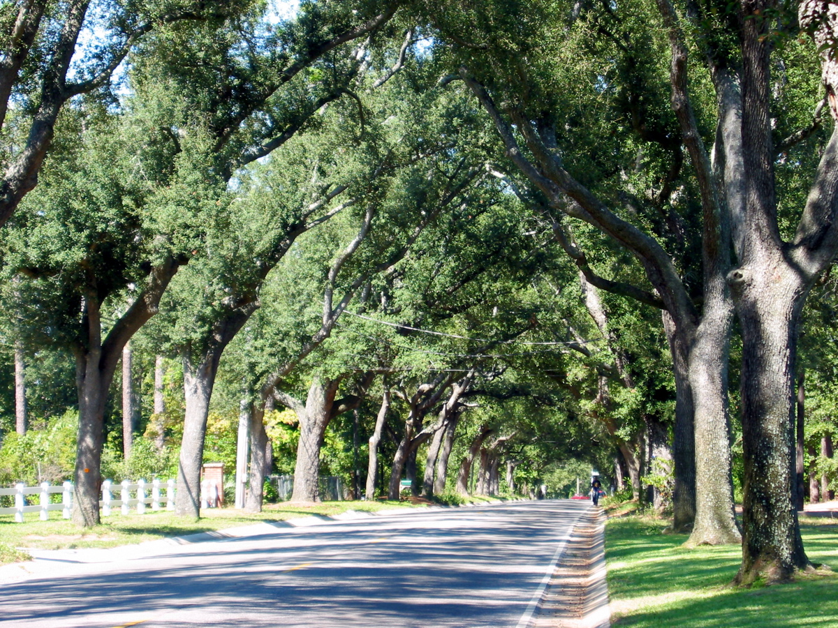
| 19:41, 17 October 2007 | TreeTunnel.jpg (file) |  |
883 KB | {{PD-self}} | 1 |
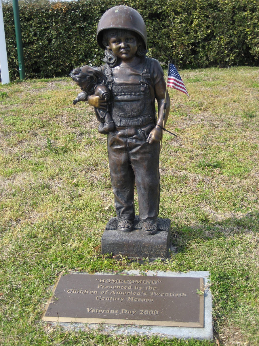
| 16:37, 11 March 2007 | MemorialPark-Homecoming.jpg (file) |  |
862 KB | {{cc-by-sa}} | 1 |
| 12:28, 6 May 2008 | JuniorFuneralHomeDriveThru.jpg (file) |  |
859 KB | {{PD-self}} | 1 |
| 15:15, 13 May 2007 | 1906Hurricane.png (file) |  |
815 KB | {{PD}} Source: [http://en.wikipedia.org/wiki/Image:1906_Atlantic_hurricane_6_track.png Wikipedia] | 1 |
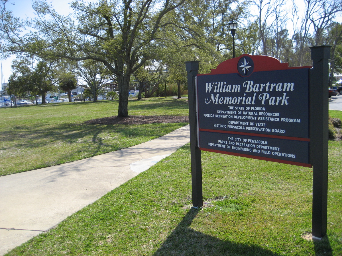
| 03:51, 23 March 2007 | BartramPark.jpg (file) |  |
807 KB | {{cc-by-sa}} | 1 |
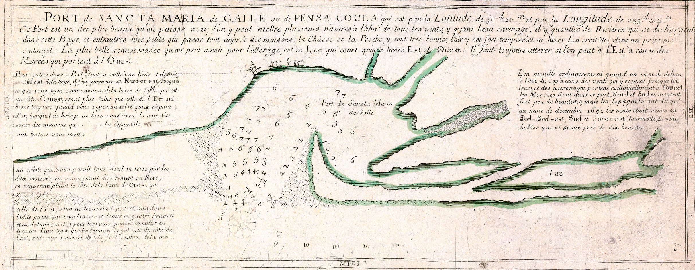
| 20:28, 30 March 2009 | Sancta Maria de Galle ou de Pensa Coula.jpg (file) |  |
807 KB | Port de Sancta Maria de Galle ou de Pensa Coula Creator: Catho, 1690? Source: [http://image11.fcla.edu/cgi/i/image/image-idx?xc=1;q1=pensacola;rgn1=ic_all;sid=459f65ba838911e1f7e40f9b954e7728;size=20;a=63;c=fhpimage;c=map;c=mca;c=mile;c=rte;c=wolf;lastt | 1 |
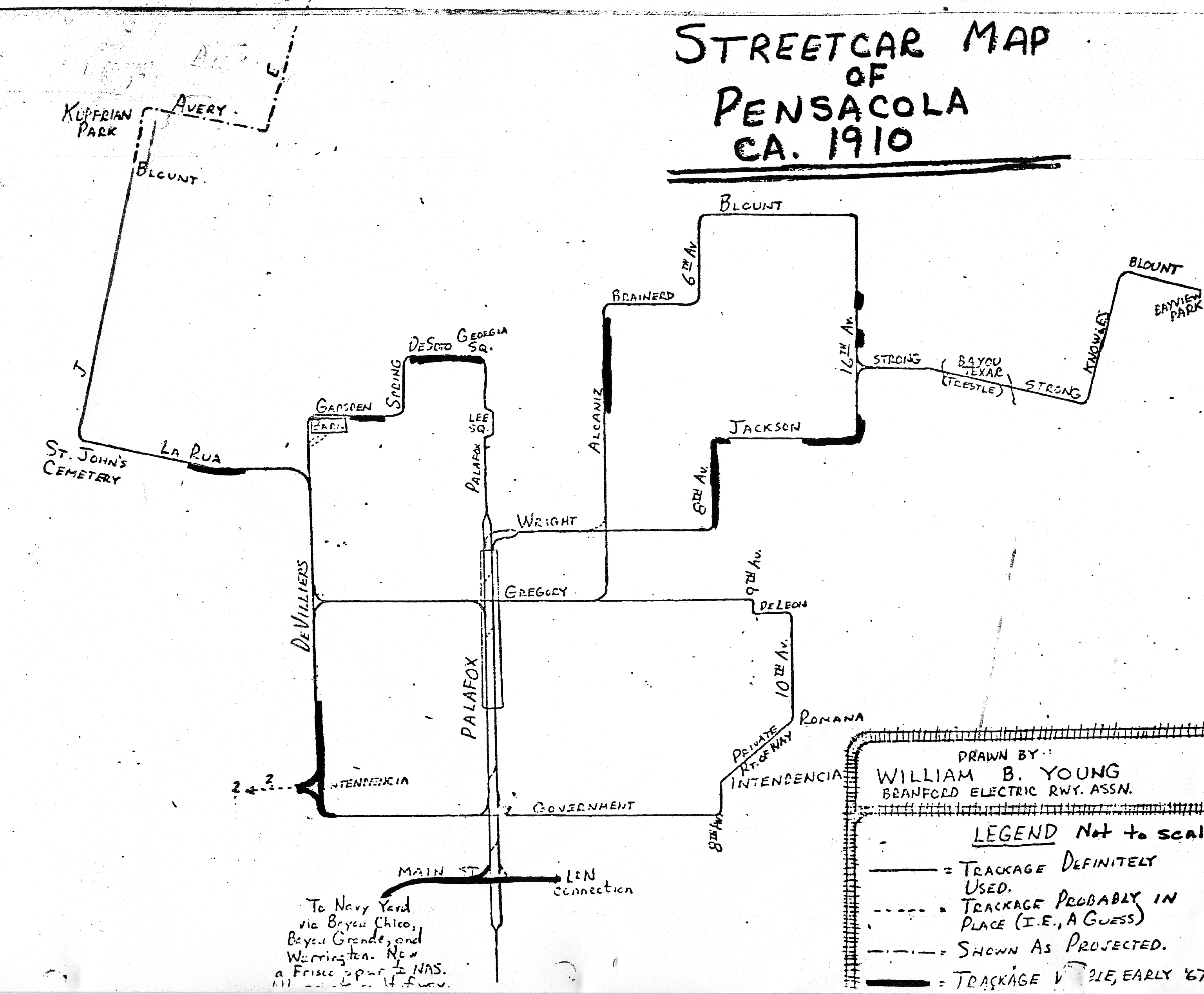
| 13:45, 16 June 2008 | StreetcarMap1910.gif (file) |  |
796 KB | From the files of John Appleyard. Copyright status unknown, presumed PD. | 1 |
| 17:21, 19 June 2007 | Hurricane Ivan ISS.jpg (file) |  |
792 KB | {{PD-USGov}} Created by NASA http://en.wikipedia.org/wiki/Image:Hurricane_Ivan_ISS.jpg | 1 |
| 19:48, 11 June 2011 | Arnowbuilding-1938plans-front.jpg (file) |  |
778 KB | {{PD-USGov}} | 1 |
| 06:58, 9 November 2007 | McGaughyHouse.jpg (file) |  |
775 KB | {{PD-self}} | 1 |
| 18:47, 9 March 2008 | HopjacksTaps.jpg (file) |  |
772 KB | {{PD-self}} | 1 |
| 17:20, 8 May 2008 | NorwegianChurch.jpg (file) |  |
771 KB | {{PD-old}} Source: ''Bliss Quarterly'' | 1 |
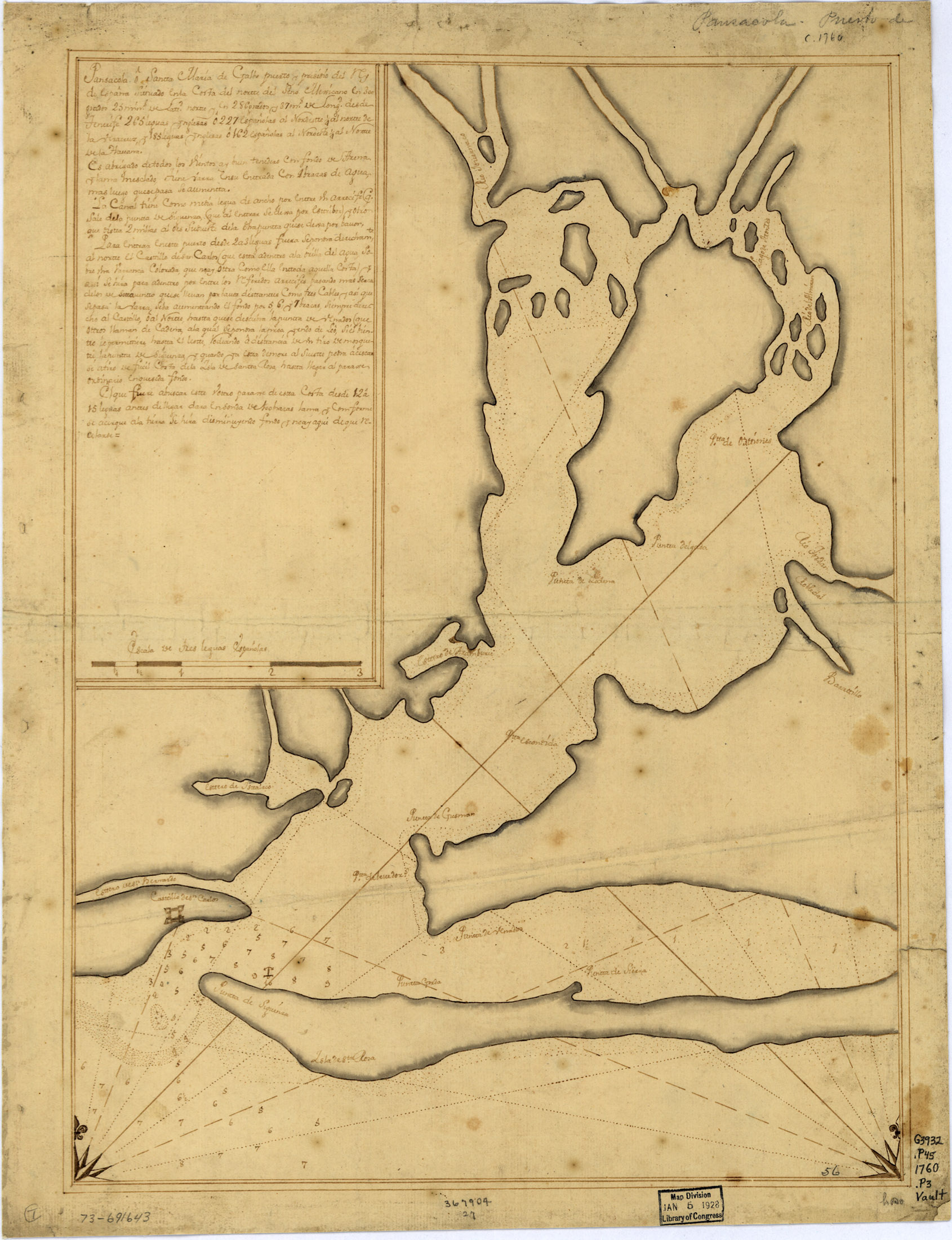
| 04:23, 21 April 2007 | 1760Map.jpg (file) |  |
769 KB | Pansacola o Santta María de Galbe, puerto y presidio del Ry. de España situado en la costa del nortte del Seno Mexicano, los 30 grados 25 mins. de lattd. nortte y los 286 grados y 37 ms. de longd. desde Tenerife 265 leguas inglesas o 227 españolas al n | 1 |
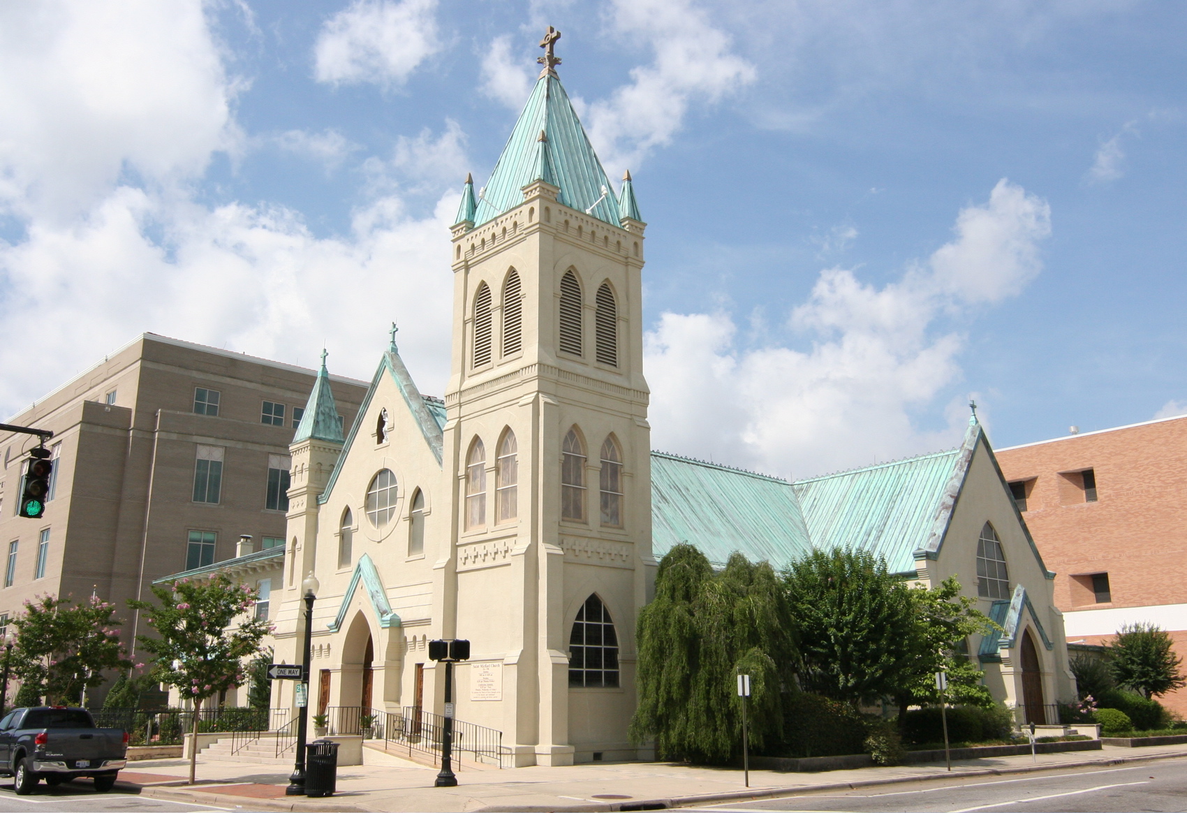
| 17:56, 13 June 2009 | StMichaelsCatholicChurch.jpg (file) |  |
762 KB | {{PD-self}} | 1 |
| 19:44, 11 June 2011 | Arnowbuilding-construction-8.jpg (file) |  |
755 KB | {{PD-USGov}} | 1 |
| 16:22, 11 March 2007 | FortGeorge.jpg (file) |  |
754 KB | {{cc-by-sa}} | 1 |
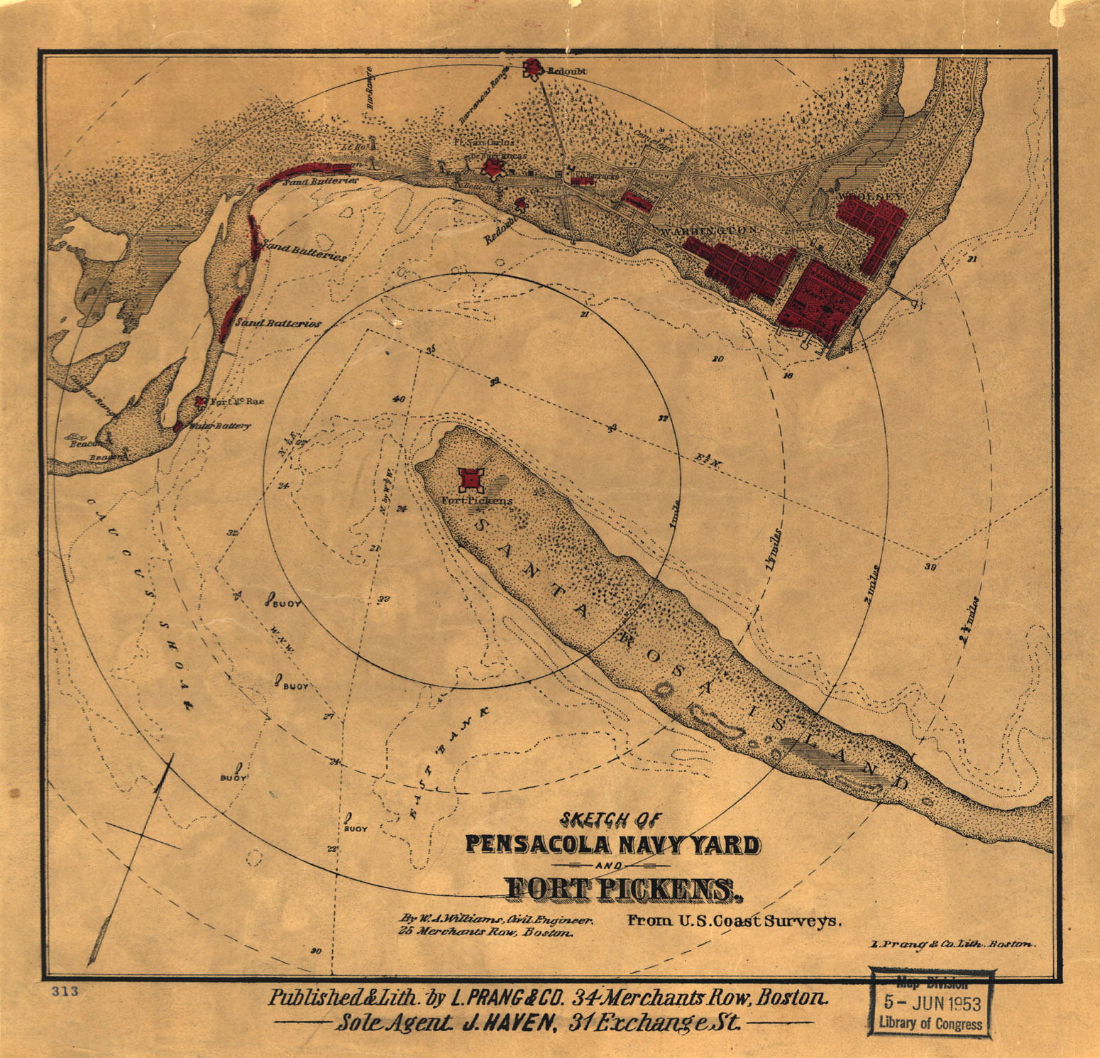
| 04:47, 21 April 2007 | WilliamsCivilWarMap.jpg (file) |  |
752 KB | Sketch of Pensacola Navy Yard and Fort Pickens From U.S. Coast Surveys. By W. A. Williams, Civil Engineer. {{PD-US}} Source: [http://memory.loc.gov/cgi-bin/query/D?gmd:36:./temp/~ammem_9pE7::@@@mdb=mcc,gottscho,detr,nfor,wpa,aap,cwar,bbpix,cowellbib,calb | 1 |
| 18:28, 11 March 2007 | SevilleGazebo.jpg (file) |  |
739 KB | {{cc-by-sa}} | 1 |
| 16:09, 11 March 2007 | BirgerSAxelsonHouse.jpg (file) |  |
736 KB | {{cc-by-sa}} | 1 |
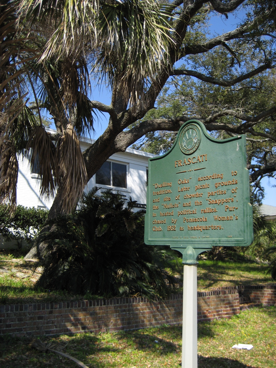
| 16:23, 11 March 2007 | FrascatiDuelingOaks.jpg (file) |  |
734 KB | {{cc-by-sa}} | 1 |
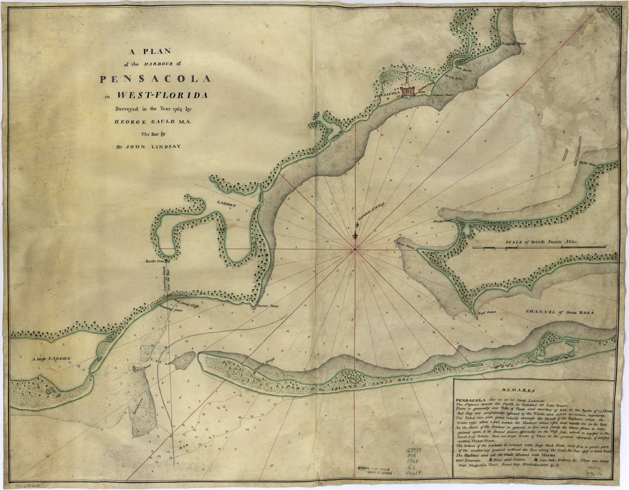
| 04:29, 21 April 2007 | 1764Plan.jpg (file) |  |
733 KB | A plan of the harbour of Pensacola in West-Florida. Surveyed in the year 1764 by George Gauld, M.A. The bar by Sir John Lindsay. {{PD-USGov}} Source: [http://memory.loc.gov/cgi-bin/query/D?gmd:1:./temp/~ammem_UNdW::@@@mdb=mcc,gottscho,detr,nfor,wpa,aap,cw | 1 |
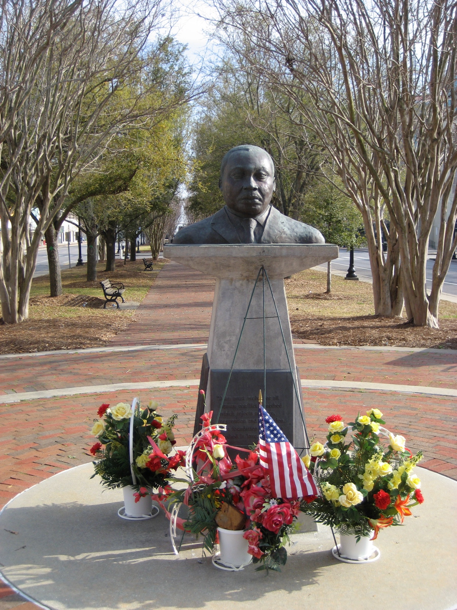
| 16:38, 11 March 2007 | MLKPlaza.jpg (file) |  |
732 KB | {{cc-by-sa}} | 1 |
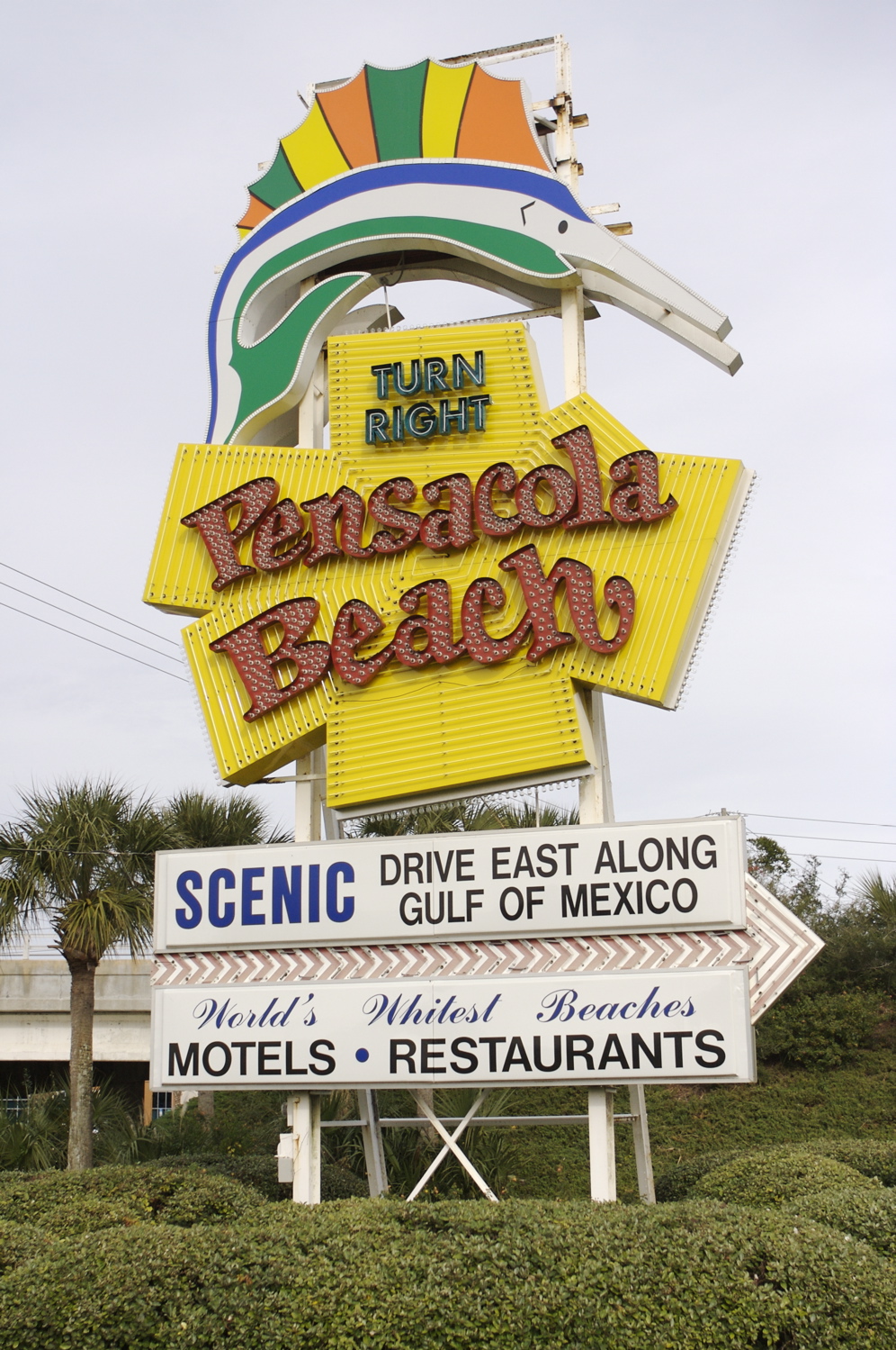
| 08:10, 28 December 2007 | PensacolaBeachSign.jpg (file) |  |
720 KB | {{PD-self}} | 1 |
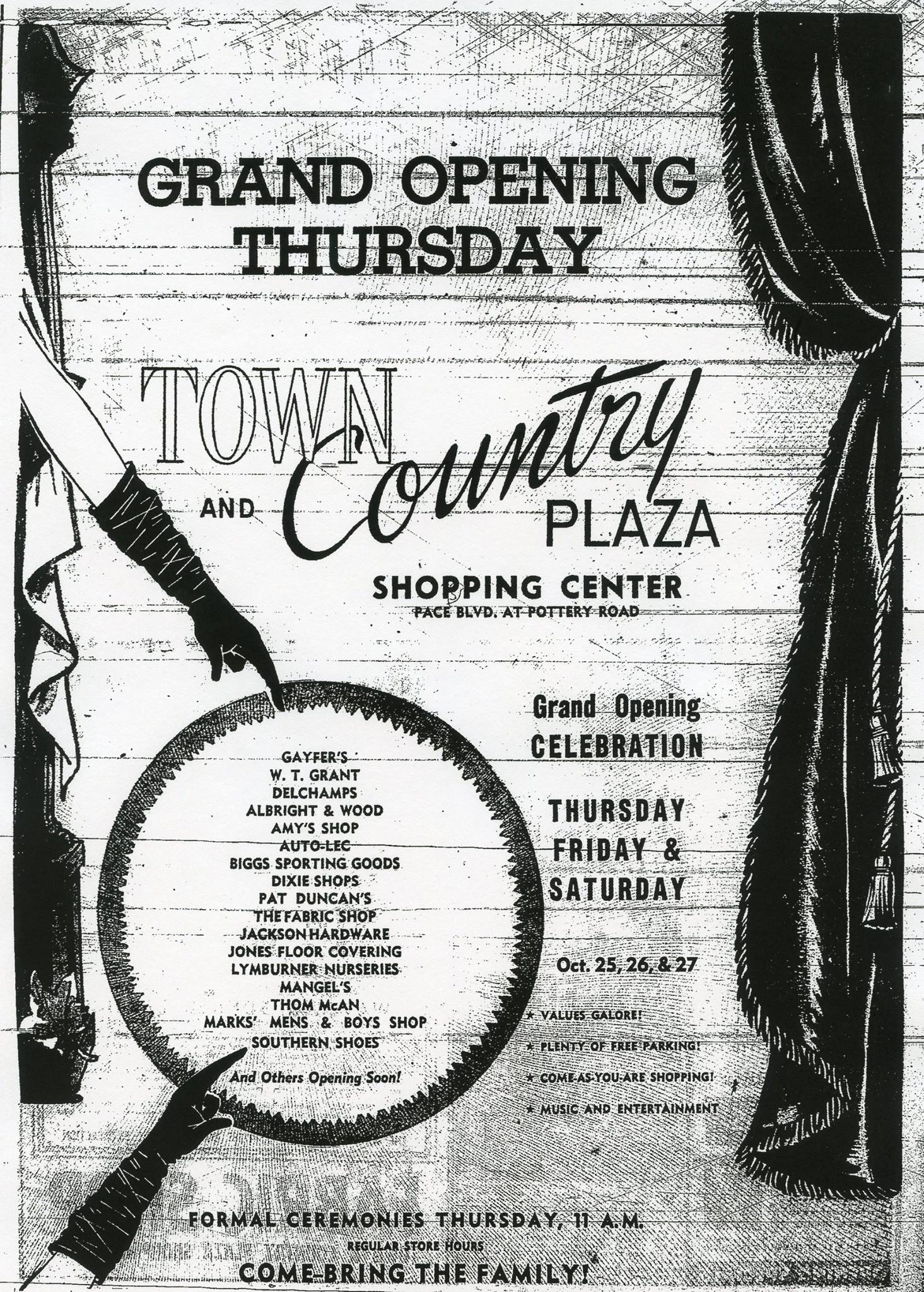
| 11:09, 26 October 2016 | Town&countryopening.jpg (file) |  |
718 KB | 1 | |
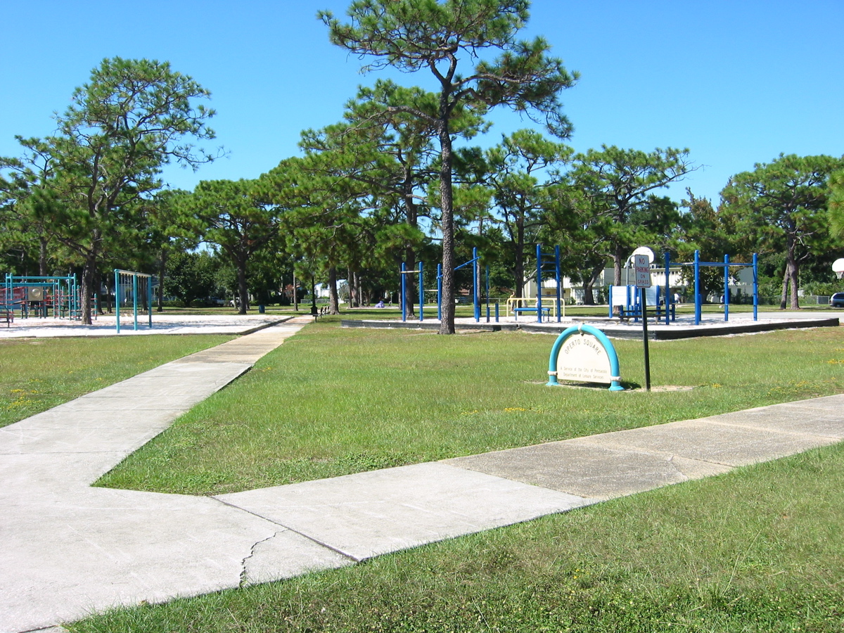
| 19:48, 17 October 2007 | OpertoSquare.jpg (file) |  |
714 KB | {{PD-self}} | 1 |
| 23:22, 14 March 2010 | PittsSlipConcept2.jpg (file) |  |
714 KB | Source: Historical Society archives | 1 |
| 00:13, 19 March 2007 | ManuelGonzalezGrave.jpg (file) |  |
713 KB | {{cc-by-sa}} | 1 |
| 15:11, 26 August 2007 | NavalAirMuseumEntrance.jpg (file) |  |
712 KB | {{PD-self}} | 1 |
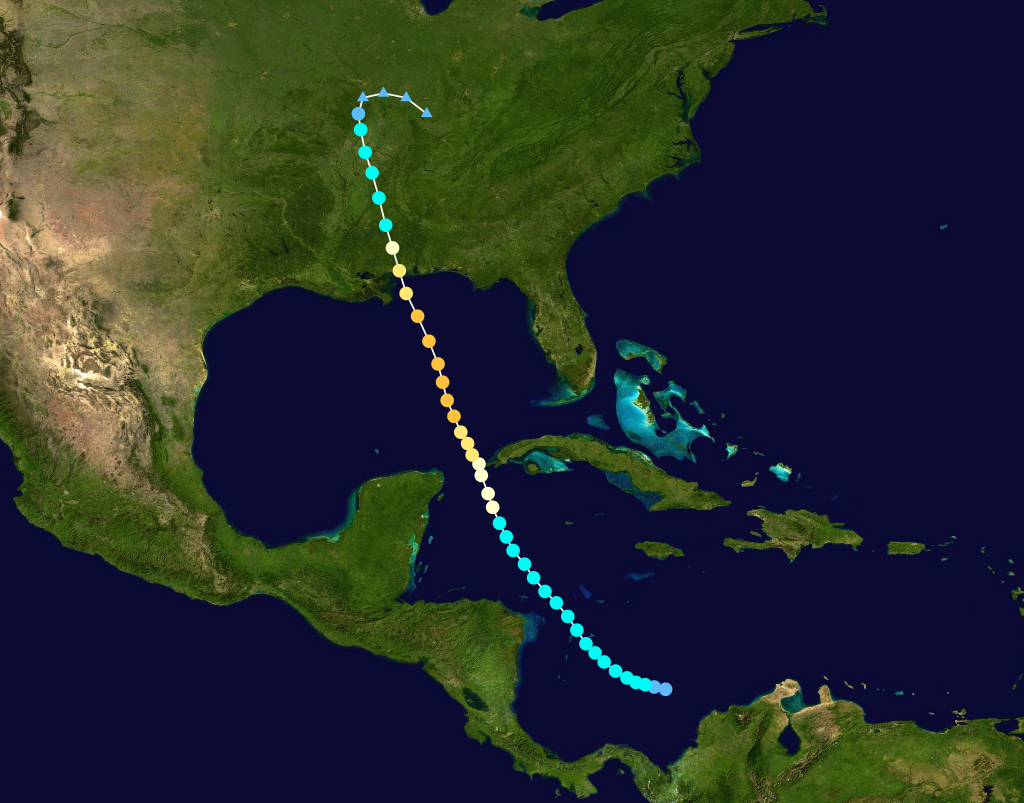
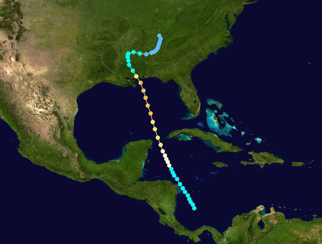
| 13:19, 30 March 2007 | July1916HurricanePath.png (file) |  |
707 KB | Source (released into public domain by author) | 1 |