Santa Rosa Island
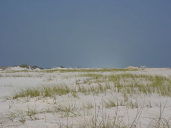
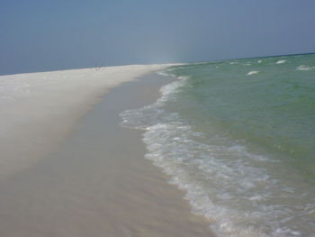
Santa Rosa Island is a 40-mile barrier island located in the U.S. state of Florida, thirty miles (50 km) from the Alabama state border. The communities of Pensacola Beach, Navarre Beach, and Okaloosa Island are located on the island. The island was the landfall point of 2005's Hurricane Dennis and 1995's Hurricanes Erin & Opal, among others.
Parts of the island are in the Gulf Islands National Seashore.
History
The island was the site of the Battle of Santa Rosa Island in the American Civil War.
In 1929, Santa Rosa Island was sold by the U.S. War Department to Escambia County, Florida, for $10,000. Ten years later, the county returned the island to the federal government in the expectation that it would be developed into a U.S. National Monument preserving the remnants of Fort Pickens, the only fort in the South to be held by the Union throughout the duration of the American Civil War.

