
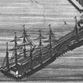
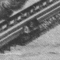
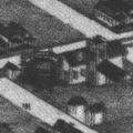
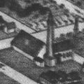
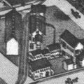
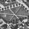
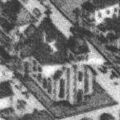
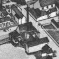
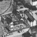
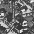
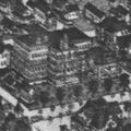
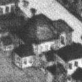
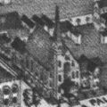
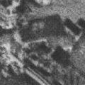
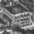
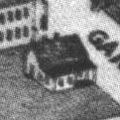
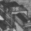
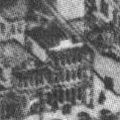
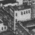
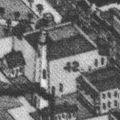
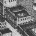
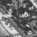
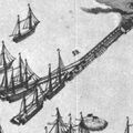
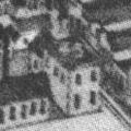
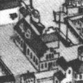
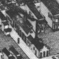
The Koch map is an aerial rendering of Pensacola created in 1896 by Augustus Koch and published by the Thomas C. Watson & Co. real estate company. The extremely detailed lithograph is a bird's eye perspective of downtown Pensacola westerly to Warrington.
Details
- Points of interest transcribed as written.
1 L. & N. R. R. Wharf No. 2 and Coal Dock.
2 Gulf Transit Co., Exporters.
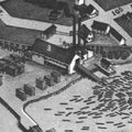
3 W. B. Wright & Co., Saw Mill.
4 L. & N. R. R. Shops and Round House.
5 Gas Works.
6 Water Works Pumping Station.
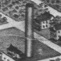
7 Water Works Stand Pipe.
11 Freight Depot, L & N. R. R.
13 Seville Square.
14 Episcopal Church.
15 B. R. Pitt Co's Planing Mill.
16 Pensacola Electric Light Co.

17 Pensacola Manufacturing Co.
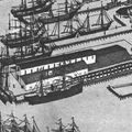
18 L. & N. R. R. Wharf No. 1 Elevator and Warehouses.
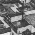
19 M. F. Gonzalez & Co., Grist Mill.
20 Cary & Co., Coal Yards.
20½ Bright Ice Factory.
21. Stratton Ice Works.
23 Escambia Hotel.
26 Jewish Synagogue.
28 Methodist Church.
29 Lutheran Church.
31 Thos. C. Watson & Co., Real Estate, Brent & Blount Bldg.
33 Star Laundry.
35 Odd Fellow's Hall.
37 Merchants Hotel.
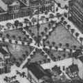
39 Public Square.
41 Plaza Hotel.
42 Opera House.
43 National Hotel.
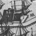
53 Warren & Co., Fish Dealers.
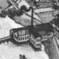
57 U. S. Marine Hospital.
58 O. Bronnum, Planing Mill.
59 Pensacola & Perdido R. R. Wharf.
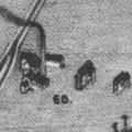
60 Tharp's Planing Mill.
44 City Hall.
44½ Martinez Cigar Factory.
45 Pensacola Terminal Co., Depot and Offices.
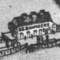
47 E. E. Saunders & Co., Fish Dealers.
48 Creary & McClintock, Foundry.
50 Cosgrove & Co., Foundry.
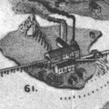
61 R. I. Brent & Co., Saw Mill.
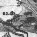
62 Palmetto Beach & Base Ball Park.
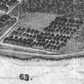
63 Woolsey.
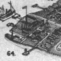
64 U. S. Navy Yard.
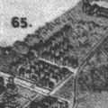
65 Warrington.
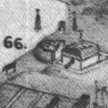
66 Fort Barrancas, U. S. Army Post.
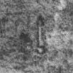
67 Light House.
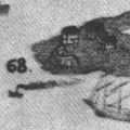
68 Fort Mc Rae.
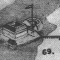
69 Fort Pickens.
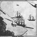
70 Marine Railway.


See also
- Wellge map of 1885