File:Pensacola1942Map.jpg
Jump to navigation
Jump to search

Size of this preview: 681 × 599 pixels. Other resolution: 800 × 704 pixels.
Original file (800 × 704 pixels, file size: 210 KB, MIME type: image/jpeg)
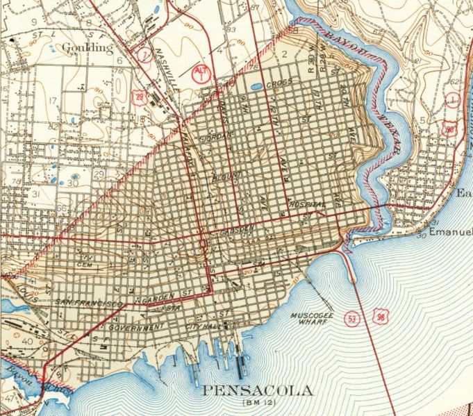
1942, Pensacola, Florida. Detail view from a United States Geological Survey map. [1]
| This work is in the public domain in the United States because it is a work of the United States Federal Government under the terms of 17 U.S.C. § 105. See Copyright. |  |
File history
Click on a date/time to view the file as it appeared at that time.
| Date/Time | Thumbnail | Dimensions | User | Comment | |
|---|---|---|---|---|---|
| current | 04:51, 5 April 2007 | | 800 × 704 (210 KB) | Dscosson (talk | contribs) | 1942, Pensacola, Florida. Detail view from a United States Geological Survey map. [http://fcit.usf.edu/Florida/maps/local/escambia/Pensacola.htm] {{pd-usgov}} |
- You cannot overwrite this file.
File usage
The following 2 pages uses this file: