File:BritishMap1781.jpg
Jump to navigation
Jump to search

Size of this preview: 800 × 583 pixels. Other resolutions: 320 × 233 pixels | 815 × 594 pixels.
Original file (815 × 594 pixels, file size: 128 KB, MIME type: image/jpeg)
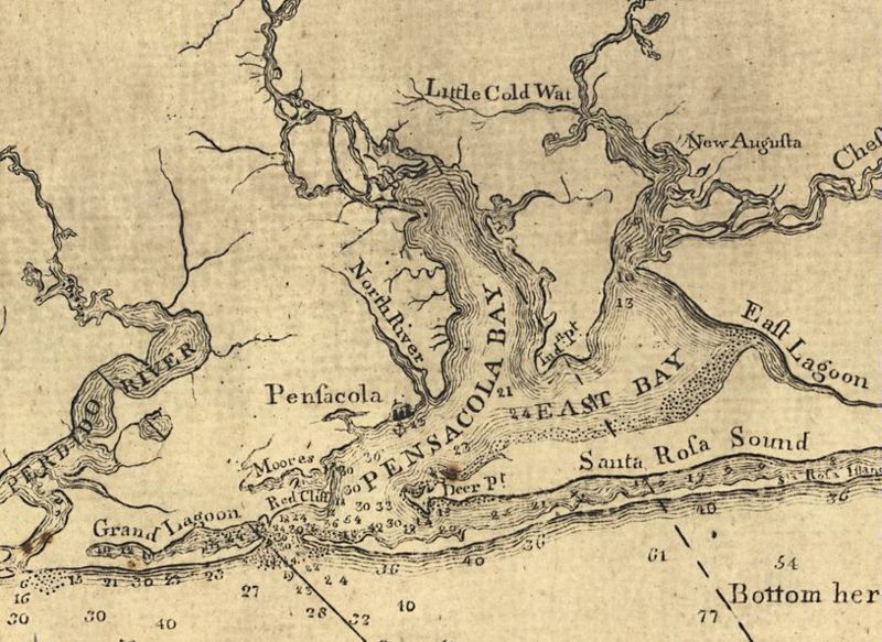
British map dated 1781 featuring Pensacola and Escambia Bays. From [1]. LOC.
File history
Click on a date/time to view the file as it appeared at that time.
| Date/Time | Thumbnail | Dimensions | User | Comment | |
|---|---|---|---|---|---|
| current | 04:42, 5 April 2007 | | 815 × 594 (128 KB) | Dscosson (talk | contribs) | British map dated 1781 featuring Pensacola and Escambia Bays. From [http://fcit.usf.edu/FLORIDA/maps/1700/m051101.htm]. LOC. {{pd-old}} |
- You cannot overwrite this file.
File usage
The following 3 pages uses this file: