File:1861Map.jpg
Jump to navigation
Jump to search
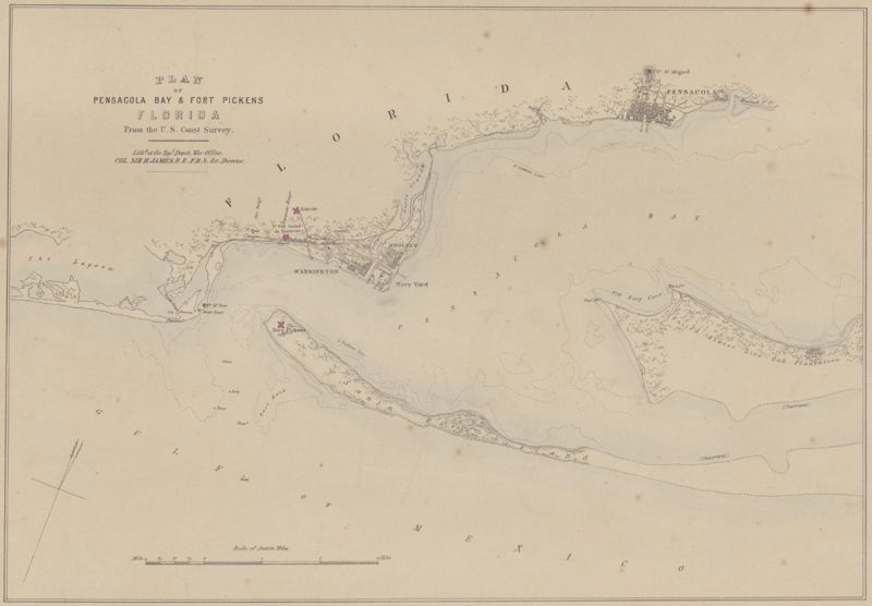
Size of this preview: 800 × 556 pixels. Other resolutions: 320 × 222 pixels | 4,629 × 3,215 pixels.
Original file (4,629 × 3,215 pixels, file size: 1.1 MB, MIME type: image/jpeg)
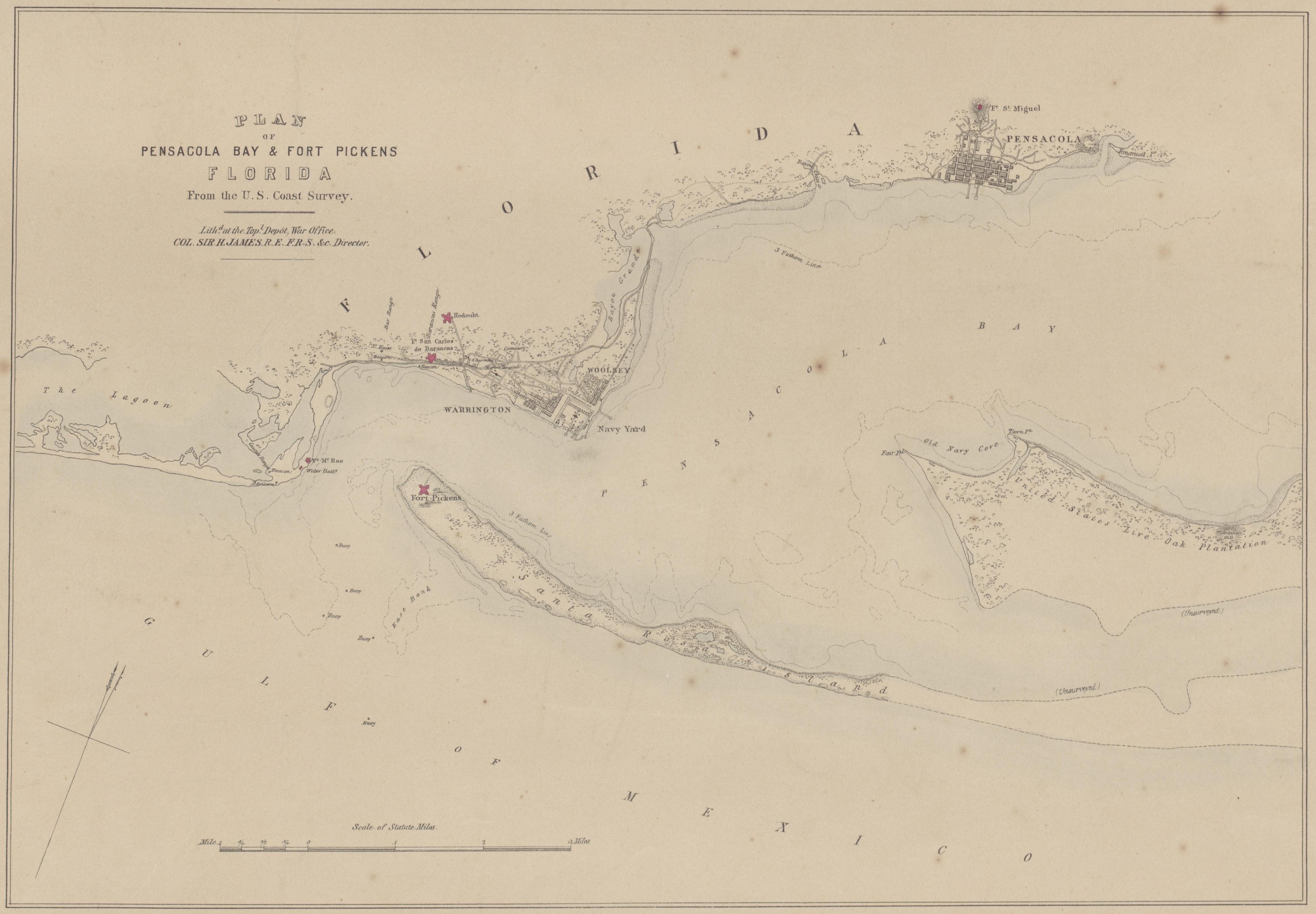
Plan of Pensacola Bay & Fort Pickens, Florida, From the U.S. Coast Survey. Lith'd. at the Top'l. Depot, War Office, Col. Sir H. James, R.E. F.R.S. &c. Director. 1861.
Obtained from [1].
File history
Click on a date/time to view the file as it appeared at that time.
| Date/Time | Thumbnail | Dimensions | User | Comment | |
|---|---|---|---|---|---|
| current | 18:59, 18 December 2008 | | 4,629 × 3,215 (1.1 MB) | Dscosson (talk | contribs) | Plan of Pensacola Bay & Fort Pickens, Florida, From the U.S. Coast Survey. Lith'd. at the Top'l. Depot, War Office, Col. Sir H. James, R.E. F.R.S. &c. Director. 1861. Obtained from [http://nla.gov.au/nla.map-rm421]. |
- You cannot overwrite this file.
File usage
The following page uses this file: